
 At the time, we were less than two months away from the 2020 North Atlantic hurricane season. Our hull insurance coverage requires us to be north of Cape Hatteras by June 1st. It’s about 500 or 700 NM all the way to Annapolis, MD where I wanted to leave the boat on the hard-standing until the end of hurricane season. Our idea was to sail at a leisurely pace, only during the daytime, and with no night passages, so I figured it may take a month or more. With our AMEL having 63′ or air draft, we had to sail out in the open sea because the Intracoastal Waterway has a guaranteed bridge height of only 61ft.

We stayed a week at the Port Canaveral Yacht Club (PCYC), enjoying its great hospitality, while we re-stocked our food and fuel for our trip up north.

One day, we ordered food delivery from a local Jamaican place, and to our surprise, it was the best jerk chicken we’ve ever had! Jerk chicken is one of our favorite dishes and all throughout our peregrination in the Caribbean, I always tried to get the local version whenever available. Still, Port Canaveral’s seemed to be the best!

Another day, we had Cubano sandwiches, and they were great! This is no surprise with so many Cuban immigrants all around Florida!
Warm hospitality of the marina and the town’s great food notwithstanding, we had to move out as the hurricane season was fast approaching! So on April 15th, we cast off and took to the seas.
All along the US eastern seaboard – from Florida to the Chesapeake Bay – there are no bays or other naturally protected anchorages. So the ICWW has to be entered through one of many inlets. However, a big number of them are not accessible for deeper draft water crafts. They are natural entries into ICWW, not maintained or dredged by the United States Army Corps of Engineers, with many shallows and moving sand bars. Most of those inlets are natural river mouths so anchoring there is pretty tricky due to the confluence of river current, tidal activity, and winds.
The first leg of our sail north took us to New Smyrna through the Ponce de Leon Inlet some 60 NM from Port Canaveral. We departed in the early morning of April 15th and were able to reach our anchorage before sundown the same day.

Entering Ponce de Leon Inlet.


View from our New Smyrna, FL anchorage.
The next day, the weather got somewhat worse so we decided to stick around and leave on April 18th for the next short (33 NM) leg to Jacksonville, FL. We entered through the St. Johns River mouth. Since it’s a main waterway to a deep water commercial harbor of Jacksonville, it’s quite deep but also has a pretty lively current which makes anchoring that much trickier.

The river banks are nothing to be excited about as there are mostly commercial and industrial installations along them.


While motoring up the St. Johns River, I noticed that one of the engine room blowers had stopped working. I spent the next day trying to fix it by cleaning its electric motor with limited success. The next day, while we were motoring out of the river, it worked for about an hour and then it seized again. Tough luck! I had to leave with it in that state until we reached Annapolis and I got some spares.
On the morning of April 20th, just after I raised our anchor, a short but violent thunder storm, akin to a sea squall, came out of nowhere! I turned around and dropped the anchor to wait for the weather to calm down. A false start to a new day!
Once the weather cleared, we had quite a nice day and reached our next destination, Amelia River, just slightly south of the Florida-Georgia state line.

Fort Clinch State Park and Museum at Amelia Island, along the Amelia River.

It was a large and nice anchorage worth spending some quiet time there. We were not bothered by passing boats and their wake, and the weather was calm the entirety of our stay.


Then, on the 22nd of April, we said our goodbyes to the Amelia River anchorage and set sail towards Brunswick, GA.

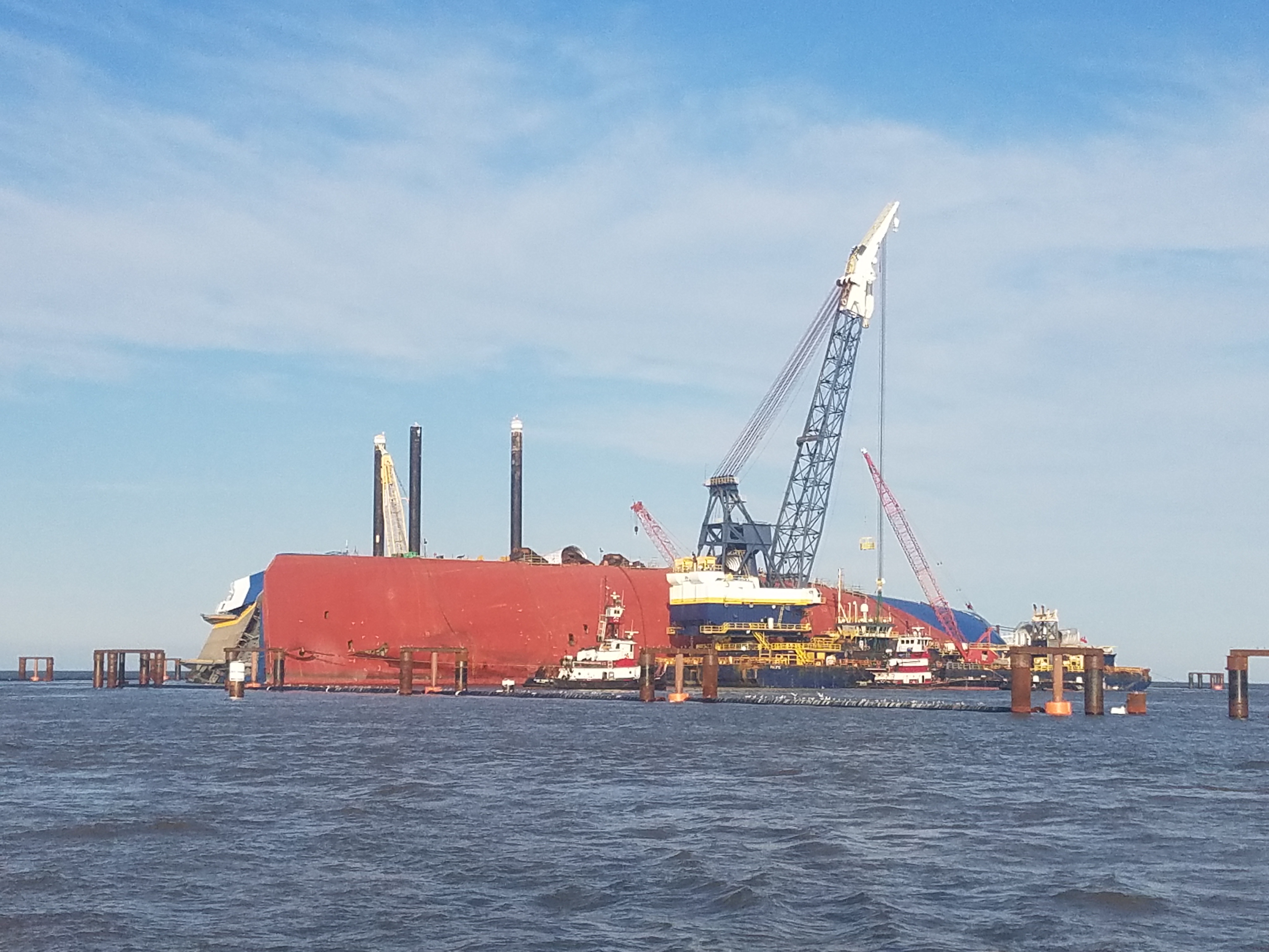
Entering St. Simons Sound
There, at the entrance, we spotted a capsized cargo ship being worked on by a salvage crew. Later that day, I found out that it was MV Golden Ray, an ROR car carrier that famously capsized there on September 8, 2019 shortly after leaving its berth at the port of Brunswick, GA.


Due to the weather, we stuck around Brunswick for the next two days. We had strong winds and for good measure, pretty active electrical thunderstorms daily! We kept close to the Sidney Lanier Bridge which spans the East River waterway to Brunswick harbor. With its high pylons, we expected any nearby lightning to hit it rather than our 63ft. high mast, which would have fried our electronics right out!

After a closer look at the US east coast north of Brunswick, GA, it turned out that there were very few ICWW inlets that could accommodate vessels of a deeper draft like mine. This effectively shifted our plans to daytime sailing only and from then on until reaching the Chesapeake Bay entrance, our hops from one anchorage to the next would be longer involving nighttime cruising.
The first night sail was the passage from Brunswick, GA to Charleston, SC. We started on the morning of April 25th with nice weather predicted all the way through. However, towards the end of our nightly sail, it started to blow somewhat stronger which pretty quickly creates choppy seas in those shallow waters along the coast. But once we entered the Charleston Harbor, it was much smoother sailing.

Charleston Harbor is mainly shallow with ship channels that are deep enough to navigate my vessel. Besides, none of the many marinas around its shores can take boats with more than 5ft. of draft.

That left us with no choice but to anchor again. We dropped the anchor on the Wando River by Drum Island up from the Arthur Ravenel Jr. Bridge.
We anchored at Charleston Harbor for a whole 5 days while waiting for favorable weather out there in the sea. The windy conditions affected our anchoring too. Since we were sitting in a strong river current combined with strong winds, we were jerked around by our anchor chain. As a result, we had to reset our anchor a few times just as precaution against anchor dragging.
One day, we had a visit from the US Coast Guard who wanted to check our vessel paperwork. They spotted that my boat is BVI, not US, flagged. It turned out that this meant I should have gotten a US Cruising Permit from Immigration at CBP and on top of that, I had to report to CBP by phone every time we stopped over. What a drag! Anyways, the very next day I had to drop my tender and dinghy out across the bay to the commercial harbor where the US Immigration office was located. I was issued a warning and a ticket of $21 for not getting a cruising permit. As a matter of fact, I got the arrival confirmation through the CBP app on my phone when I arrived at Port Canaveral, but this is only good for USA flagged vessels. Furthermore, an immigration guy told me that you can only get the Cruising Permit at the ship’s entry port which was Port Canaveral. So from then on, I had to report in-person each time I arrived at the next state with my boat. It was good that I got a nice immigration person at my next stop in Wilmington, NC. Once he learned of my predicament, he decided to stretch the rules and issued me the permit which he got to me by e-mail!
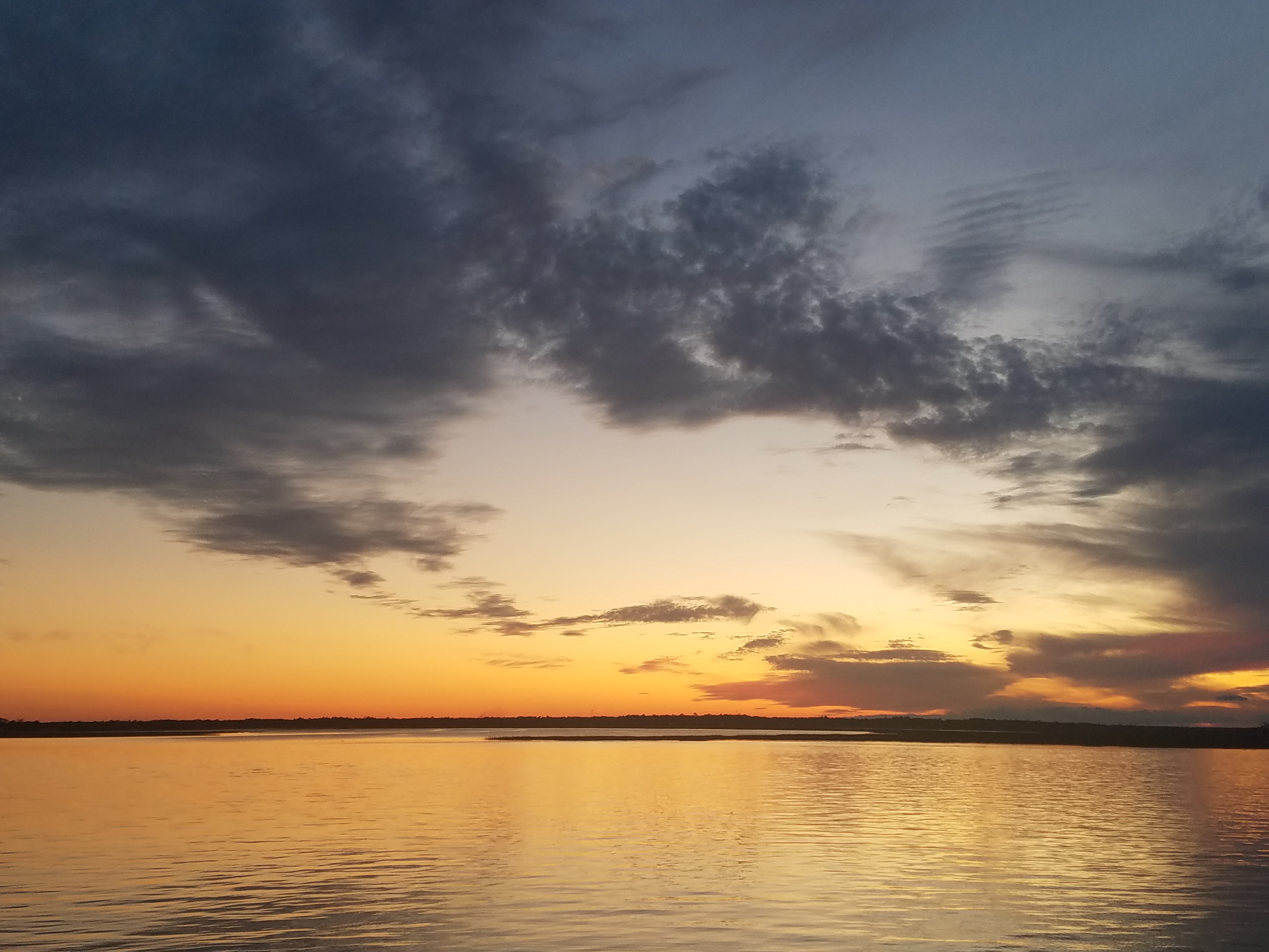
We left Brunswick, GA on May 1st and arrived at Wilmington on the 2nd after dark.

Sun is setting on our first day of sailing to Wilmington, NC
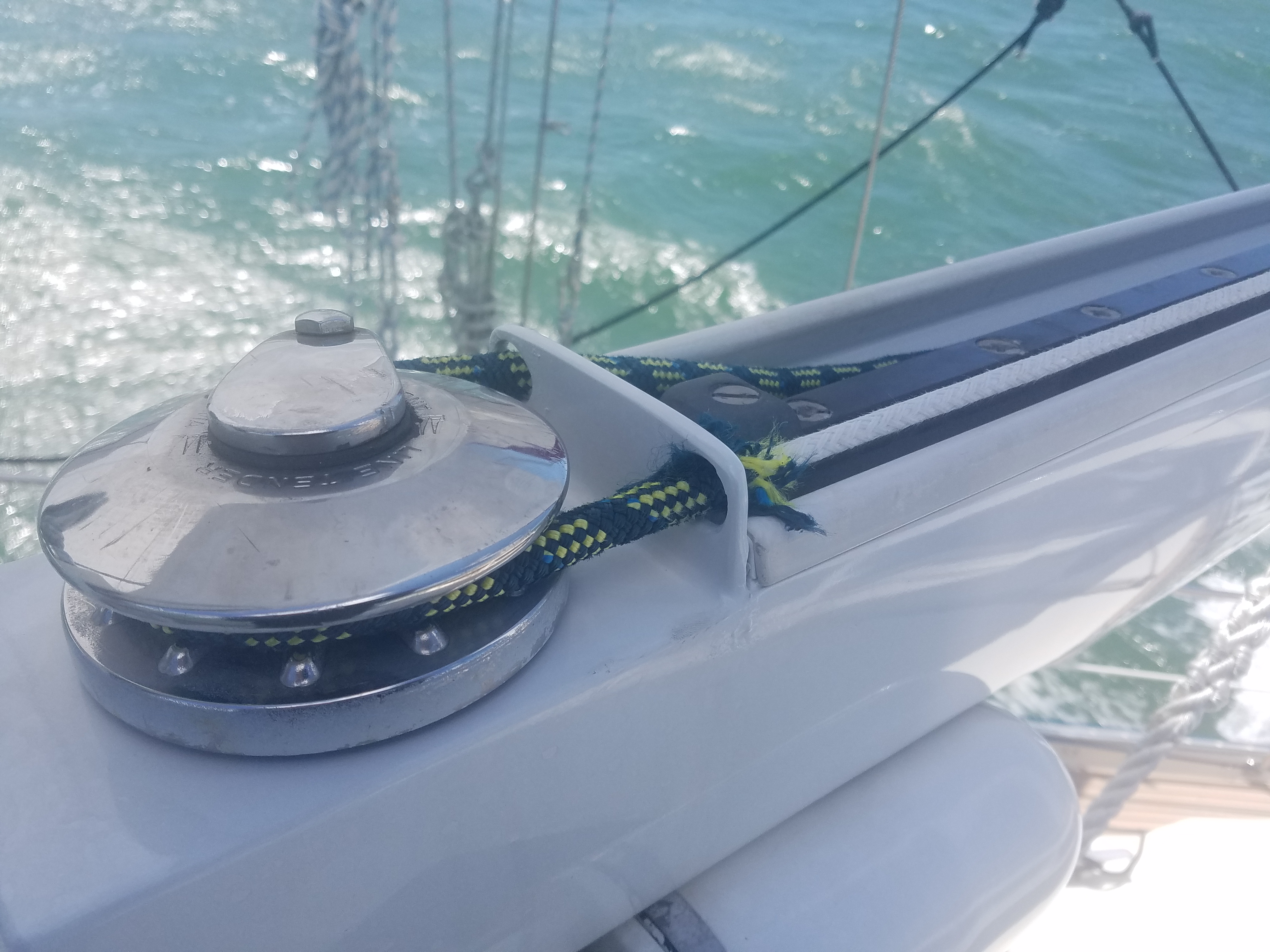
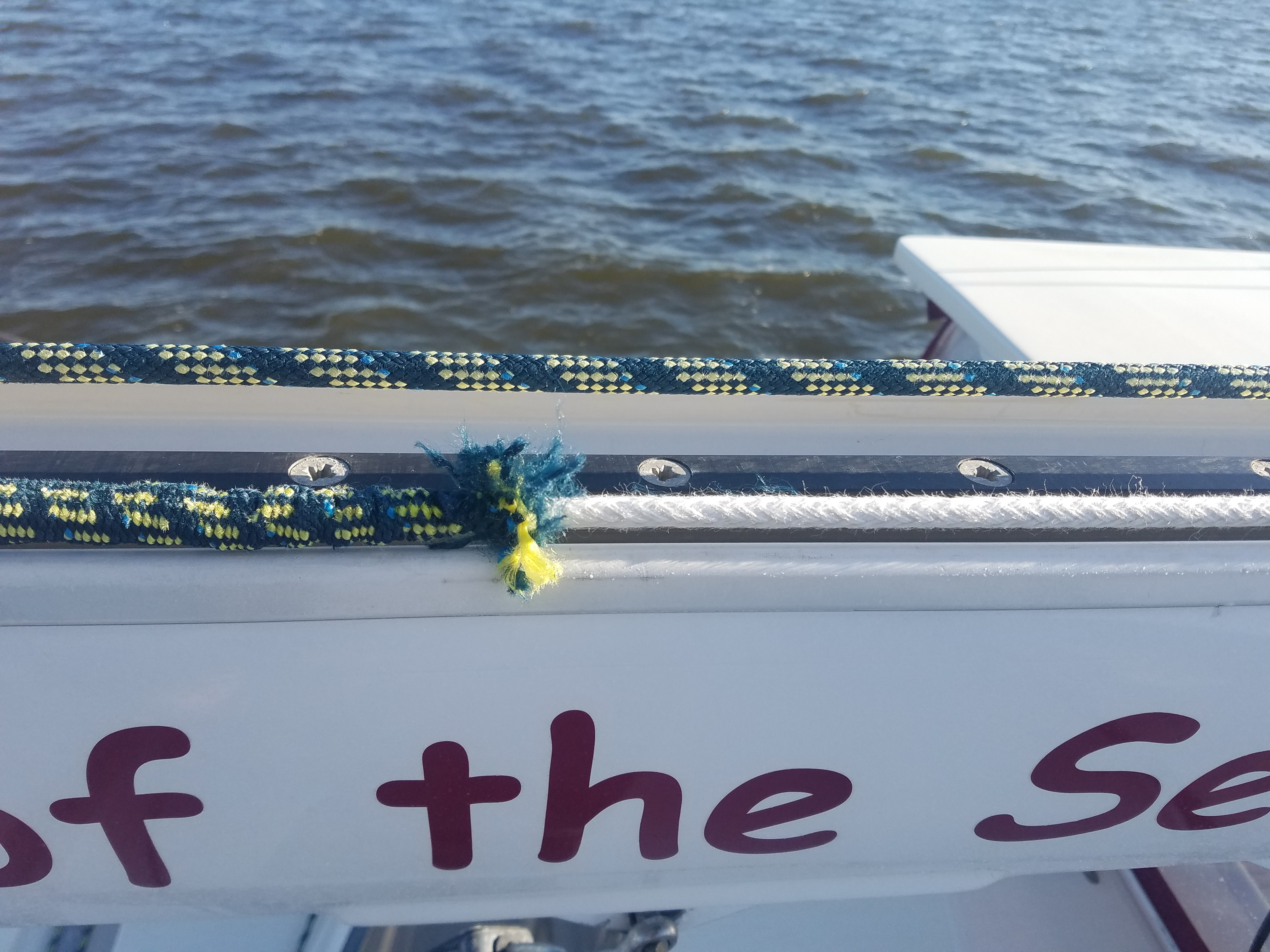
Shortly after leaving Brunswick, we started to experience issues with the main sheet electric furler. It turned out the outhaul line sheathing broke due to its wear.

We knew we were going north. It was getting colder!

We motored deep into the Cape Fear River to reach an anchorage just across from the Southport Deep Water Point Marina.
Once again, due to bad weather and the need to fix the outhaul line, we were forced to stick around the Southport/Wilmington area for a week. We had a number of nights with very strong, 30+ knot winds which prompted some other transient cruisers to stop and anchor around us.


With the long time that we stayed at Southport anchorage, we were able to re-provision our boat galley. I used Instacart to order all supplies and then had to launch my dinghy and motor across the anchorage to the Deep Water Point Marina to pick it up. Thanks Instacart for such great service!
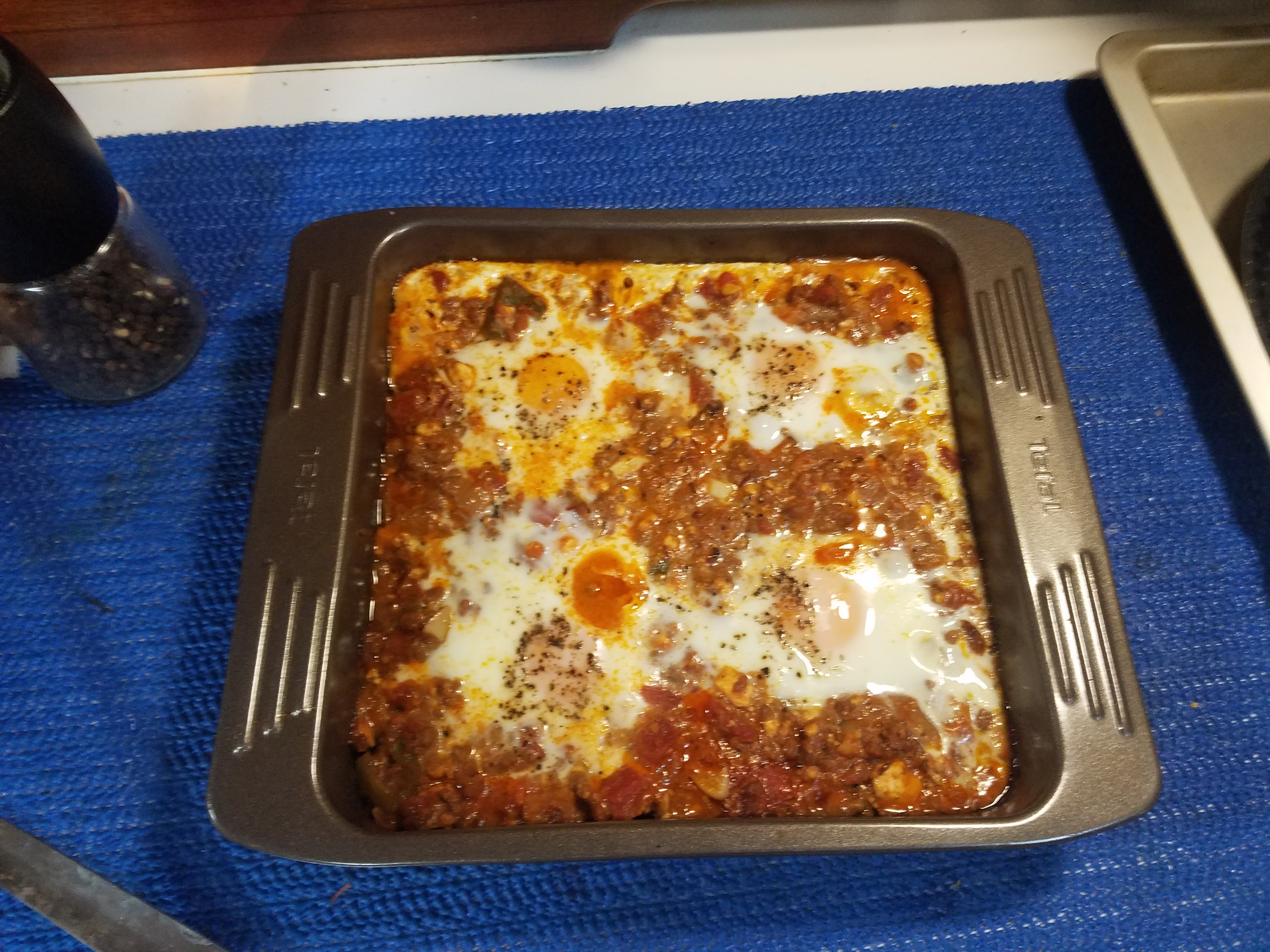
With all this fresh food and time on our hands, I could cook some great and hearty food!

Finally on May 9th in the early morning, we raised our anchor again and sailed to our next stop – Cape Lookout, NC. It’s a pretty well protected anchorage with a sandy but shifting (due to the strong current of the North River) bottom. Care has to be taken while circling to get a spot to drop an anchor due to the unpredictable depth.

It took us about 24 hours to reach our destination, and we dropped our hook no problem. Its usually a quite busy place as it is the last reasonably deep place to anchor before reaching the entrance of Chesapeake Bay which is about 200+ NM away – a good two day sail.
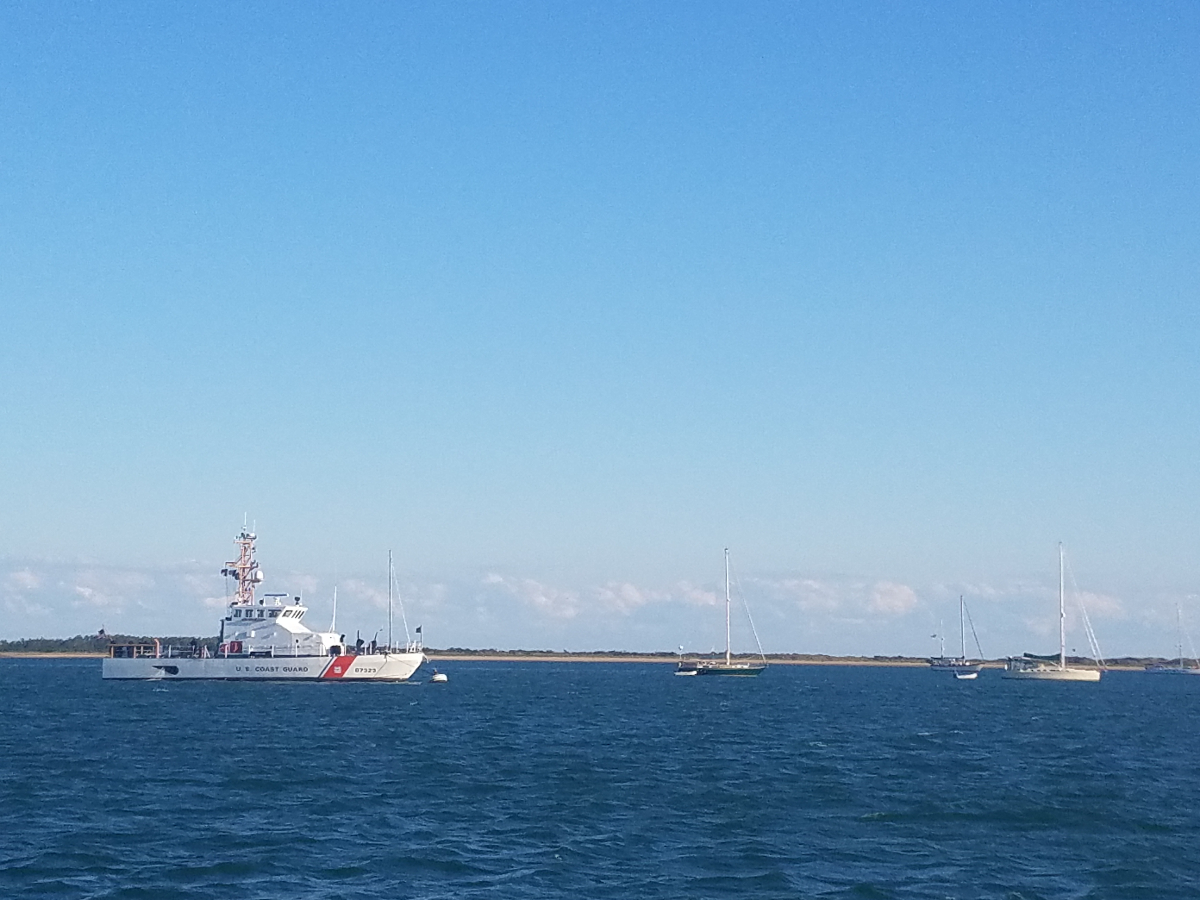
This time it was no different. A number of yachties and even a Coast Guard patrol boat were anchored there.

The nights of May 11th and 12th were really windy and the combination of a strong river current, tidal activities, and wind made our boat to swing widely around its anchor which make the anchor prone to lose its holding on the bottom. It was the case that night and when I woke up early in the morning, I noticed we had slowly dragged towards the Coast Guard vessel! I had to pull out my anchor against about 30 knots of wind to drop and set it again. This time, it caught hold and stayed this way until the morning when we left for the next leg of our sail.
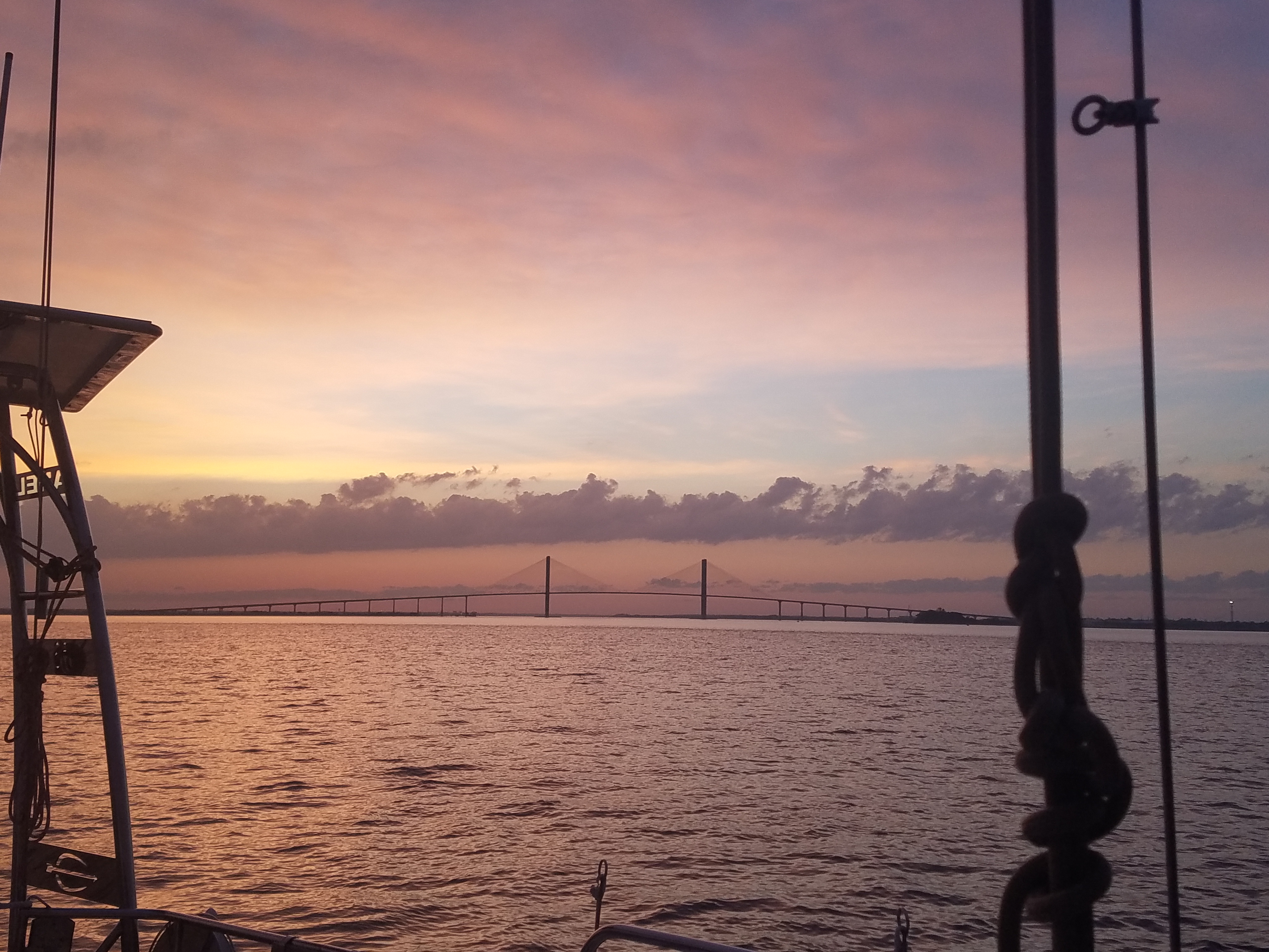
The next day, May 13th, around noon, we finally rounded up Cape Hatteras and changed our course toward the Chesapeake Bay entrance. On May 14th, we anchored at Norfolk, VA. It had been a quite slow sail with not much wind but nice weather in general. Finding a good anchoring spot around there was not an easy feat.

On approach to the Chesapeake Bat entrance.
Once we turned into the James River and past the Hampton Roads Bridge Tunnel, we steered to port and tried to enter Willoughby Bay but the marked entrance was either too shallow or had moved, pushed by the strong current of the river. After we hit the bottom, we had to turn around and try some other spots. At the end, we anchored across the bay on the city of Hampton side of the river.

Besides the unpredictable depth of most anchoring places around the Chesapeake Bay, the other recurring problem was the presence of a multitude of crab pots which can always foul your anchor. They are put there by both commercial and recreational crab trappers, and you can see their presence by the small buoys that popped out everywhere.
Just after a night at this open and uncomfortable anchorage, we weighed up our anchor and sailed north into the Bay. From then on, we were making just very short hops until we reached Annapolis.
After just less than 30 NM of sailing we arrived at Bryant Bay, out next stop.


Sailing towards Bryant Bay anchorage.
May 16th was the next stop at Hunt’s Cove. Once again, we had to take care not to hit the bottom and avoid all crab pots, but the place was nice and quiet across some nice houses on its shores.


Hunt’s Cove
Since it was so serene and quiet, we lingered there for the next two days and did not leave until May 18th to reach Ingram Bay/the Great Wicomico river further in the Chesapeake Bay. Our attempt to anchor to the North of the river entry was unsuccessful due to a horrible number of crab pots and a shallow depth, causing us to ground a few times before we resigned ourselves to anchoring across the river at its lee shore while the wind started to pick up.

The weather turned for worse forcing us to stick there for 4 days, all the while being anchored against a lee shore with nightly anchor watches to make sure we were not dragged on it.

View from our Ingram Bay anchorage.
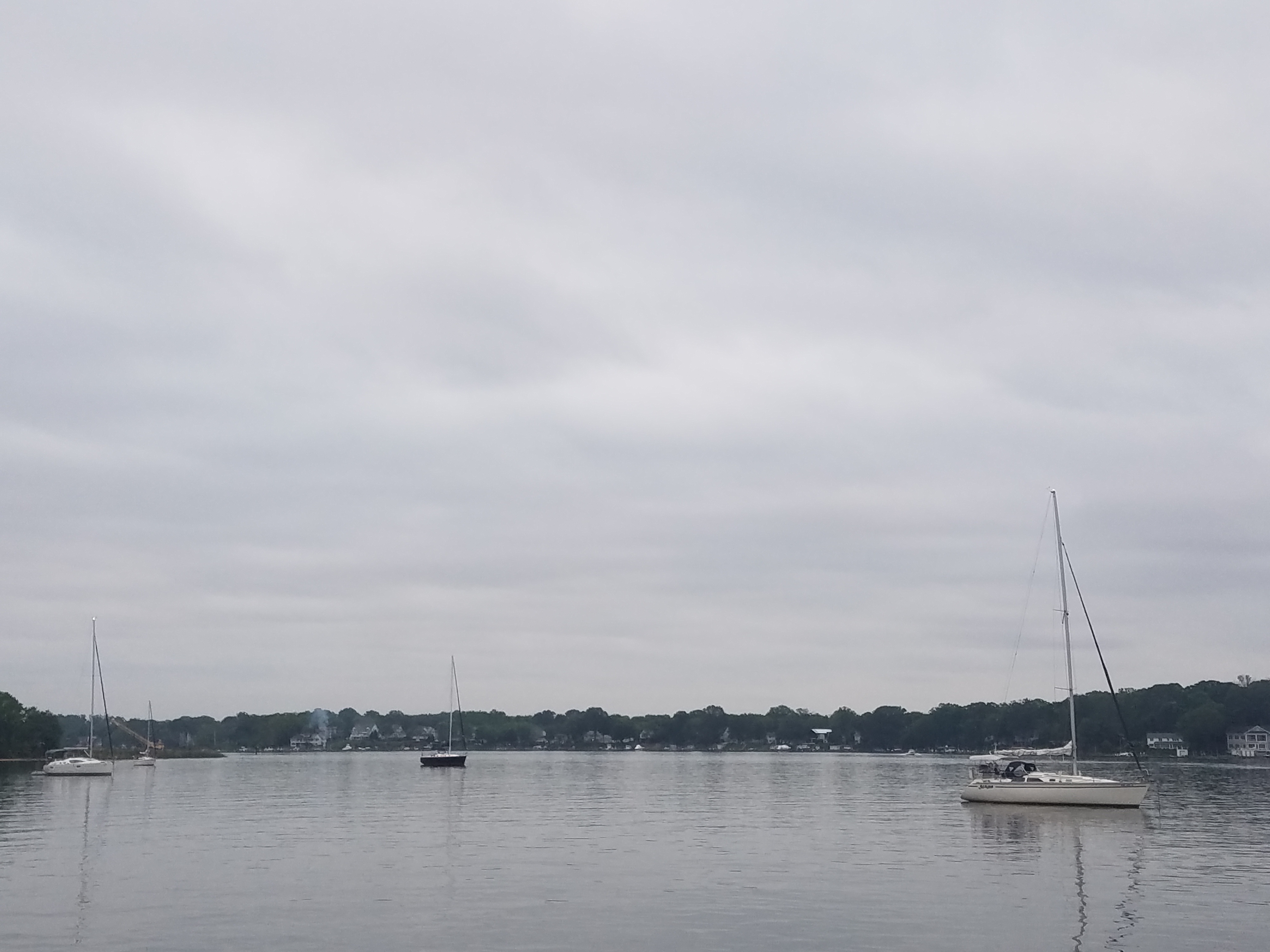
After this, we had just two quick day hops with overnight stays at Patuxten River and James Island to reach, after that, our last anchorage at Rhode River before docking in Annapolis.

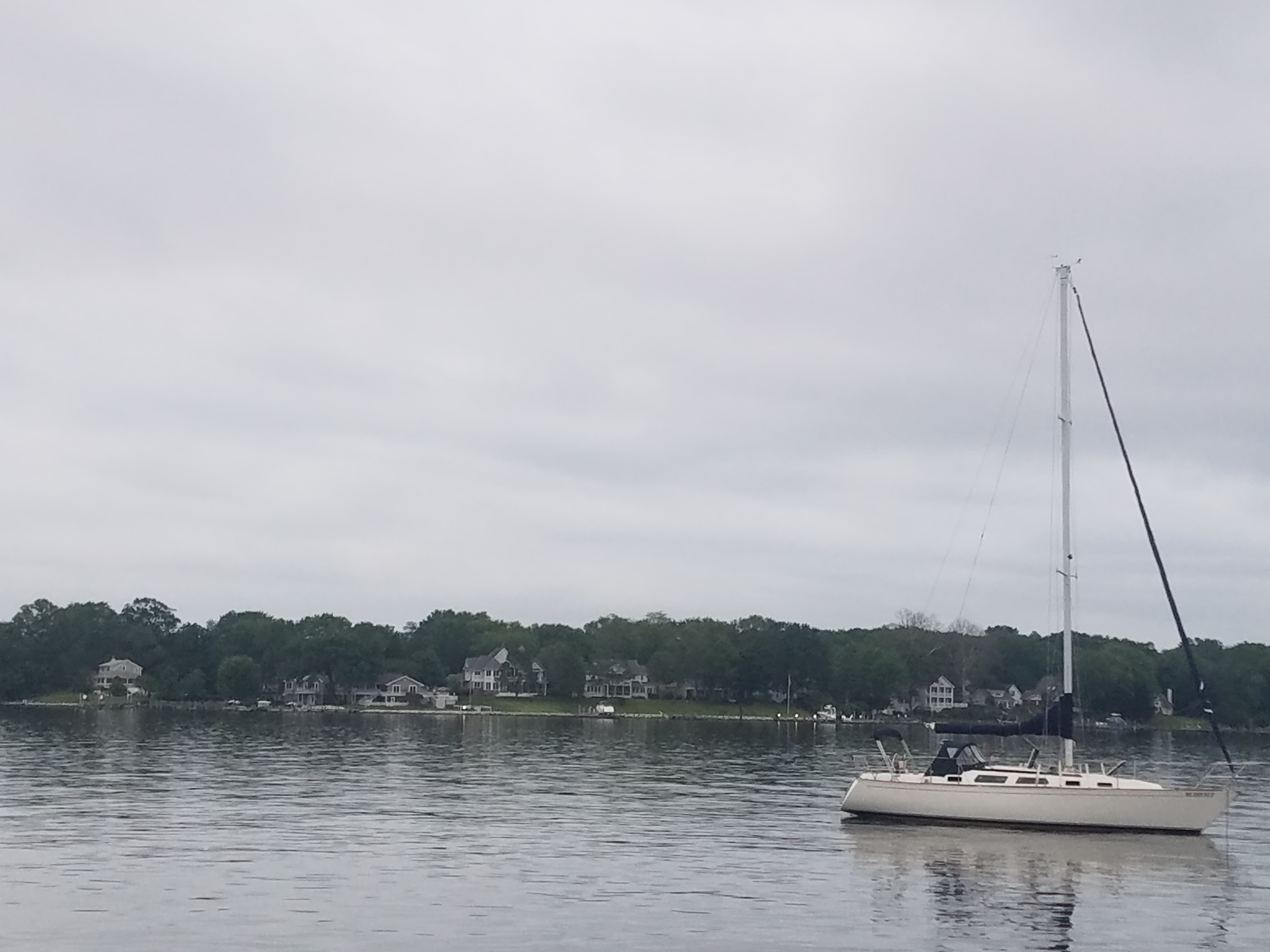
We hit the Rhode River point on May 24th and found the anchorage to be quiet with a few boaties there. The river itself seemed to be quite busy especially on Sunday, the day we put our anchor down.
Being in a leisurely mood, we spent two nights there. On May 26th, while ready to leave for Annapolis, we woke up to a very dense fog.
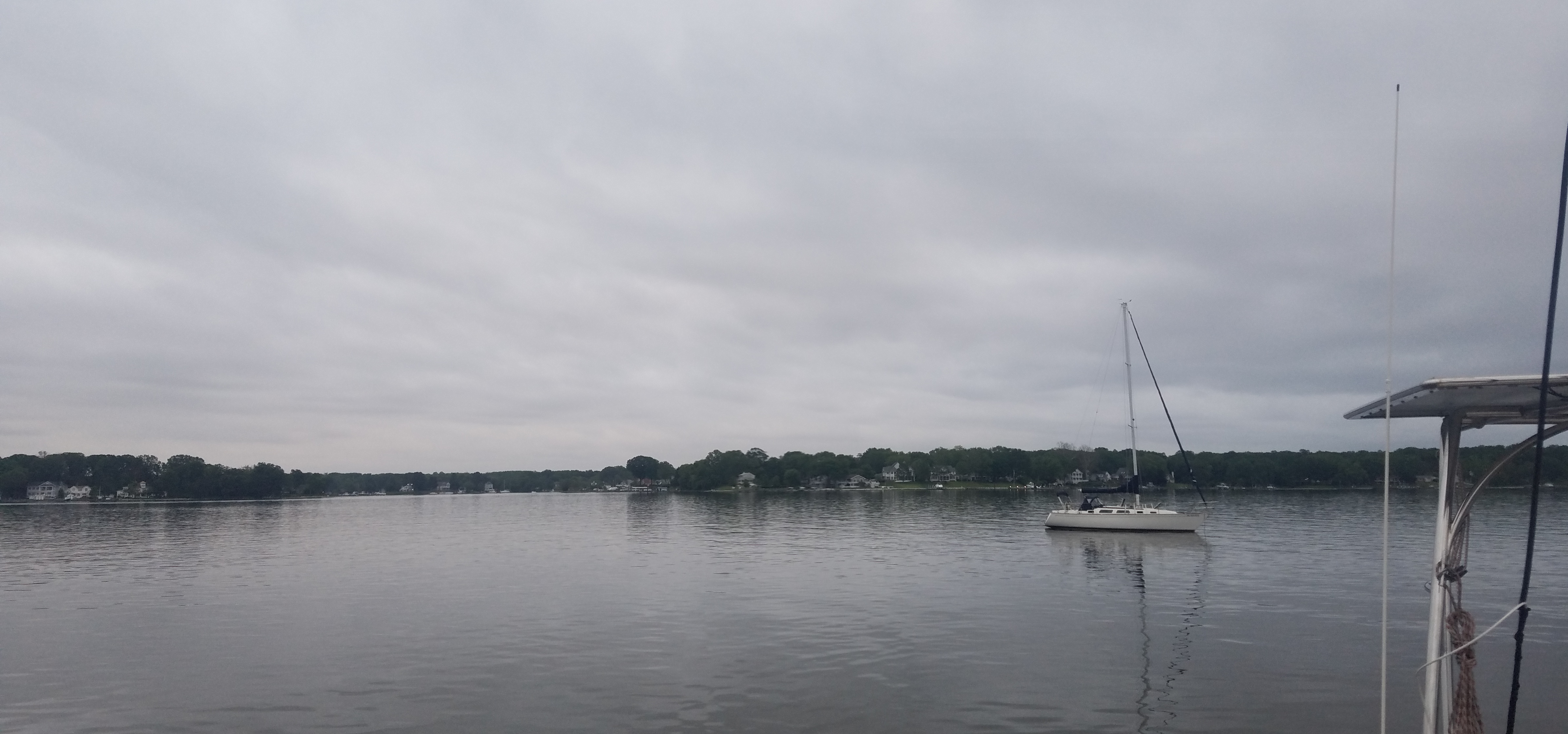


By the time we approached Annapolis, the fog had cleared, and it was sunny and balmy warm.
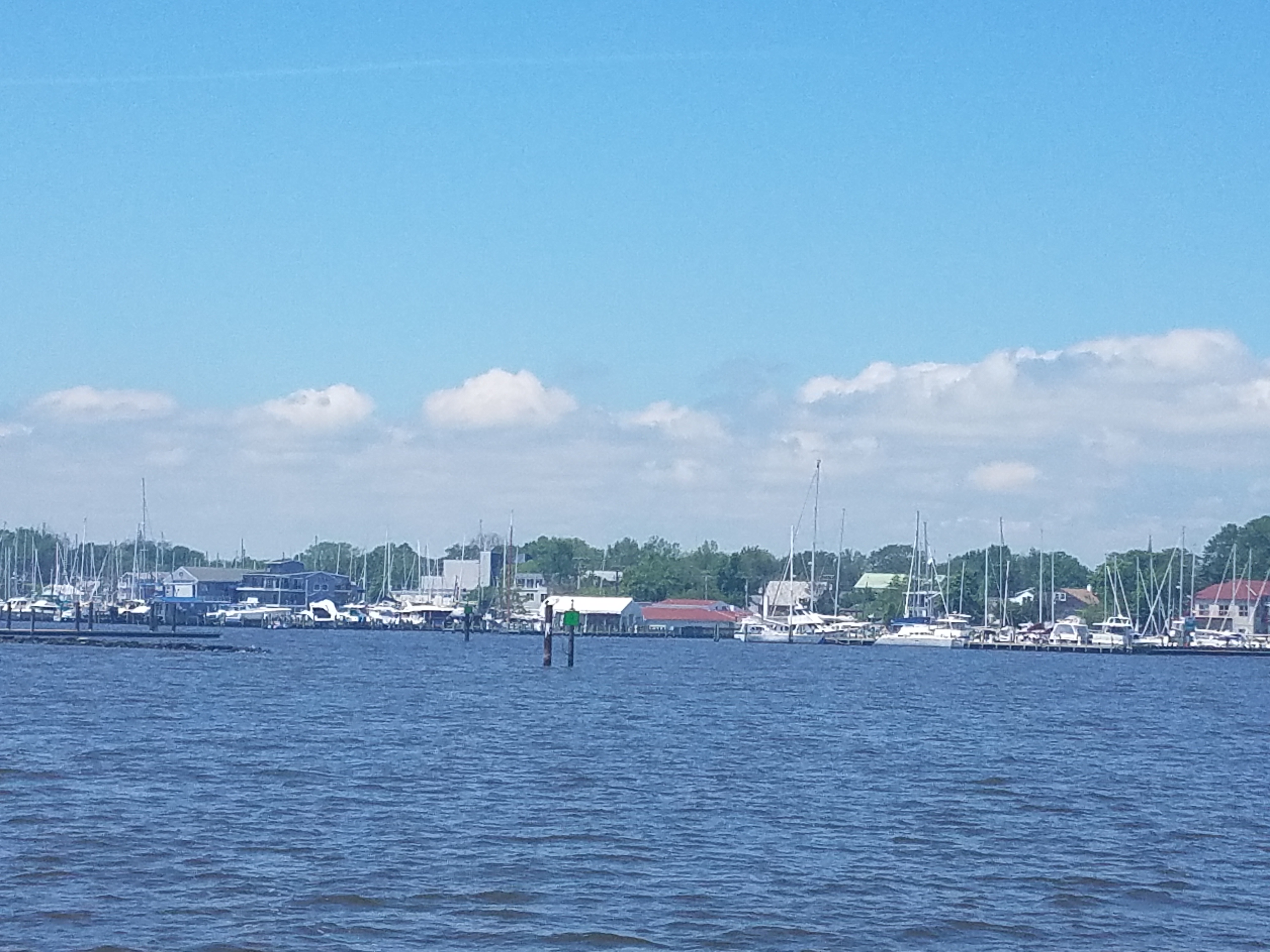


Annapolis, MD is a major, if not the biggest, sailing center on the US East Coast. The United States Naval Academy is located there. There are a number of marinas and boat yards to serve all kind of vessels. One of them is Bert Jabin Yacht Yard which is a full service marina with dry storage for both power and sail boats. BJYY was our final destination.
We docked there and resolved to spend a few days on the water to prepare our boat for haul out and dry storage. We wanted to leave her there until the 2020 hurricane season was over.


The haul out day arrived on May 29th. She was power washed, and I had to admit that the Copper Coat antifouling kept her pretty clean of marine growth. After that, she was put on the hard storage.

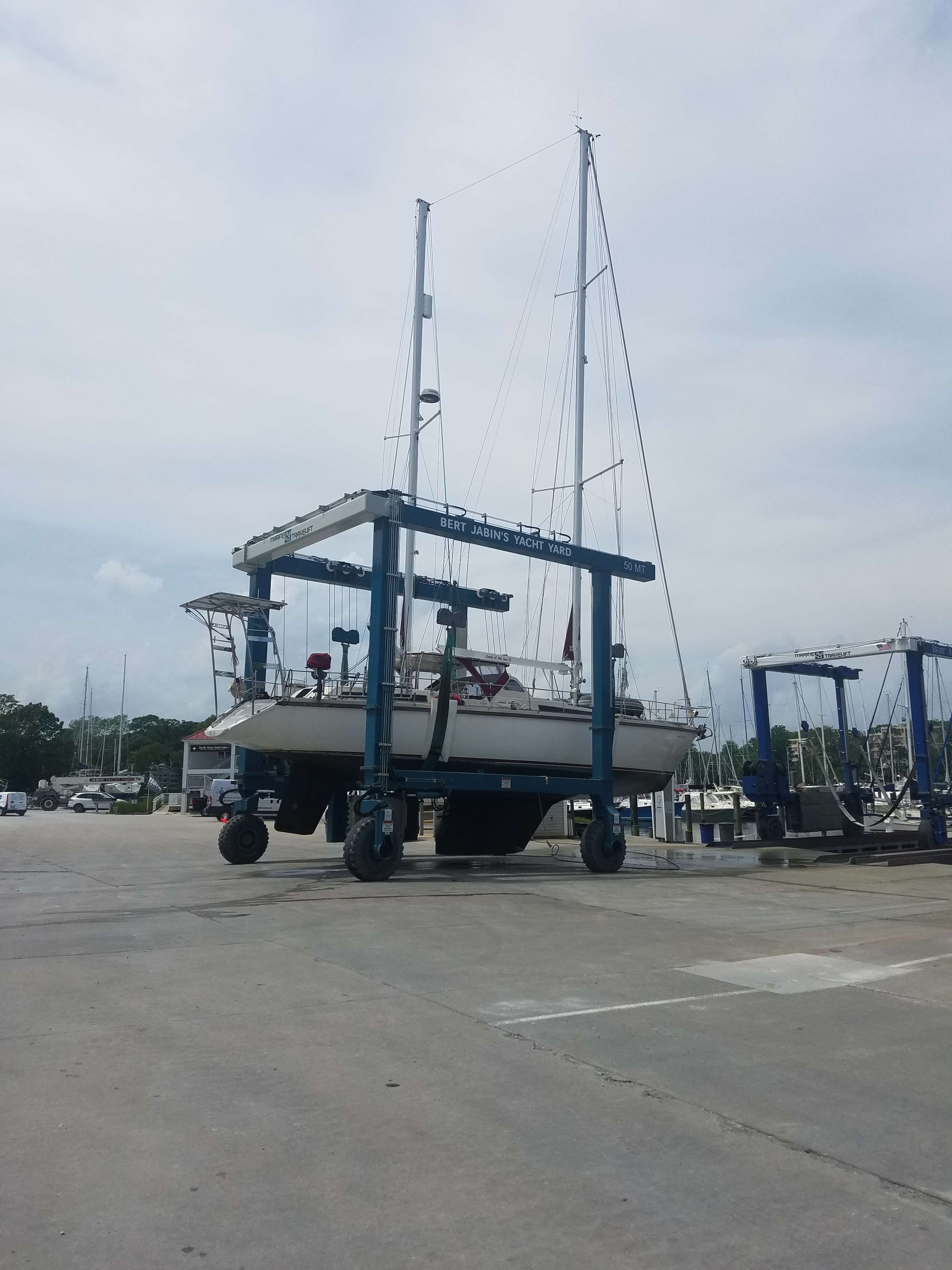

We left Annapolis the next day and would not return there to take her out until 6 months later in November 2020.